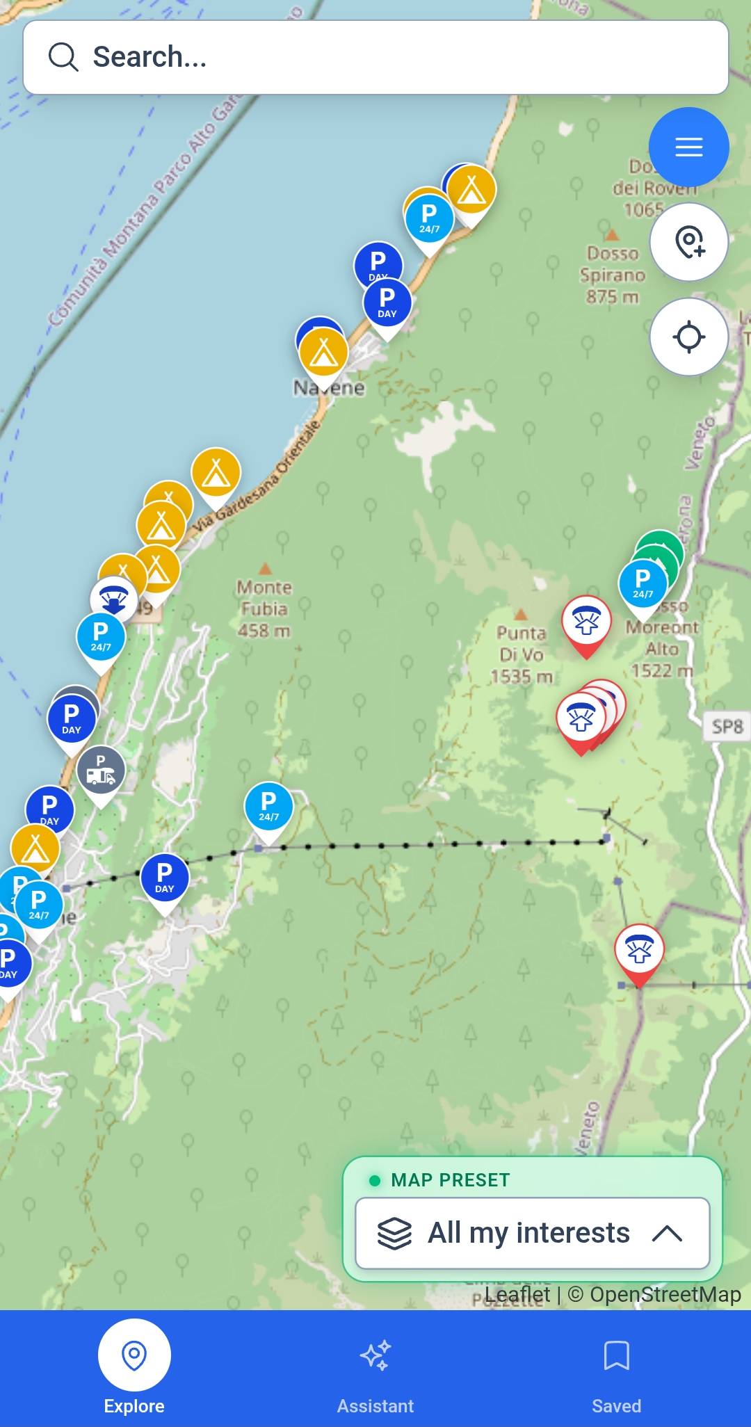
Weather & sport layers
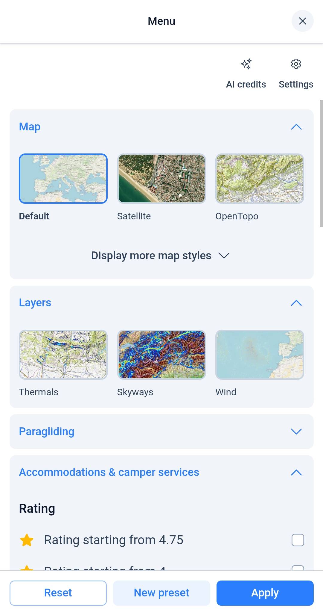
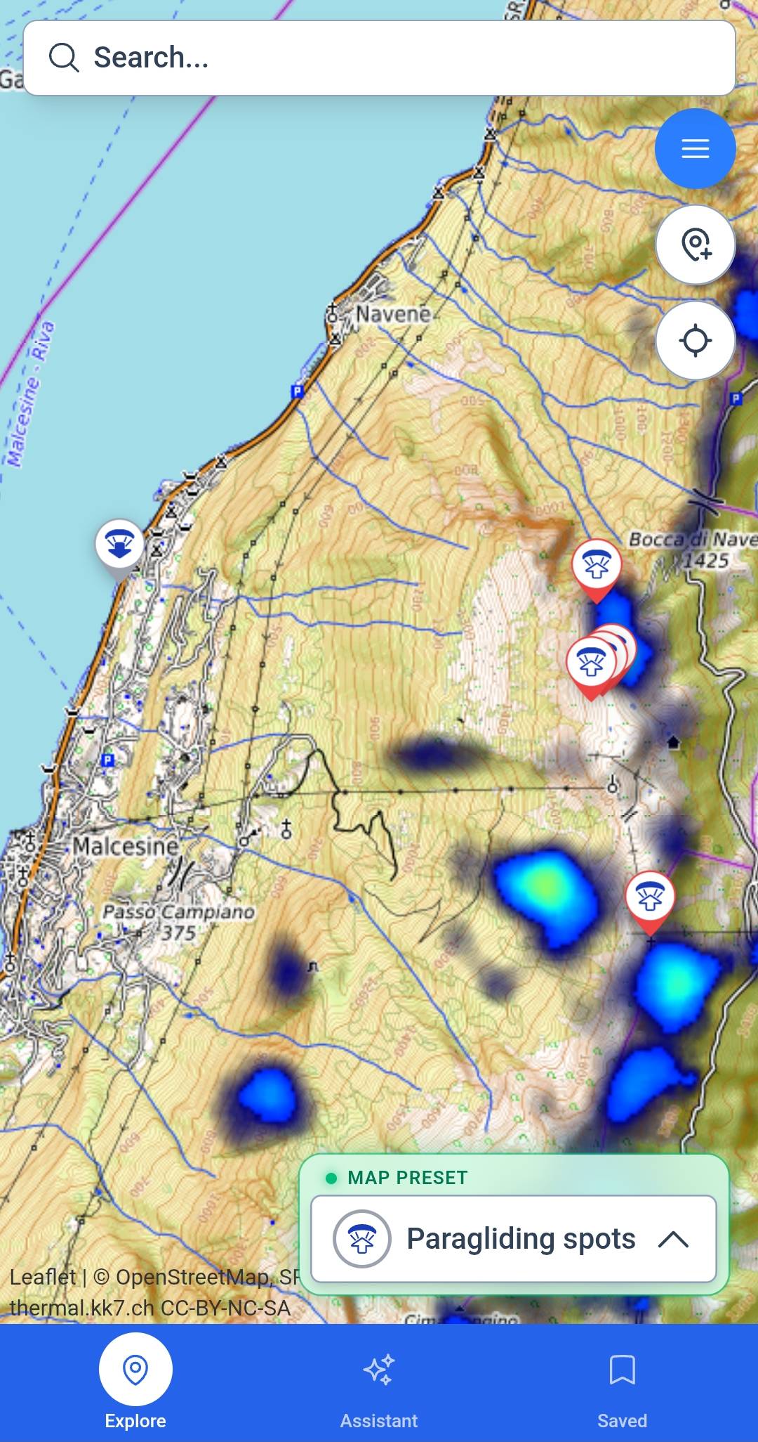
Forecasts and sport overlays together — thermals, swell, trail conditions, and wind on the map.
Go farther. Choose smarter.
Where to sleep tonight, what to chase tomorrow — stay, services, forecasts, and sport layers in one place.
Built for van lifers, paragliding pilots, hikers, and water riders crossing the world.
Sound familiar?
You know the drill: maps in one tab, forecast in another, camping in a third — and still no answer to "should I drive there?".
With XCmap, you find stay, sport, and forecast in one place.
Try XCmap freeBuilt for the road
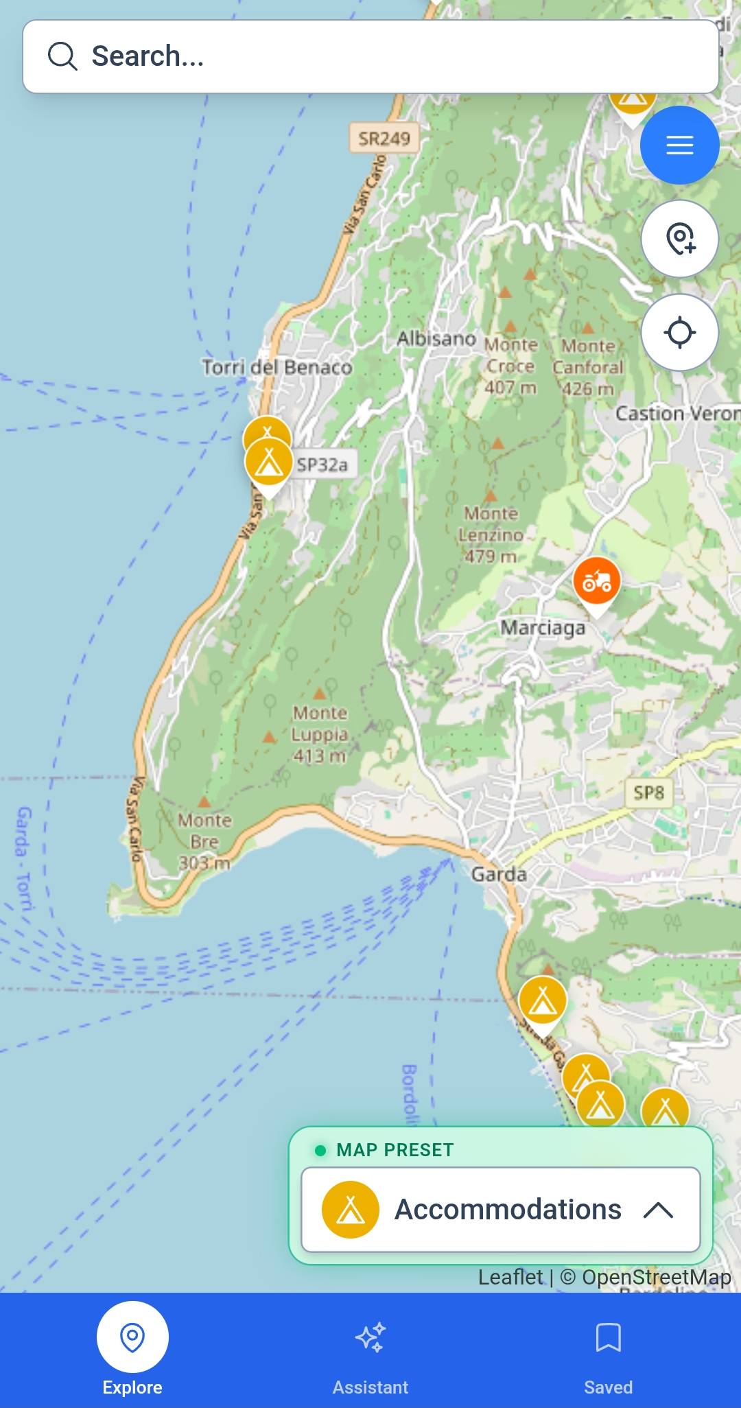
Takeoffs, campings, trailheads, and services — mapped and linked so you decide before you drive.
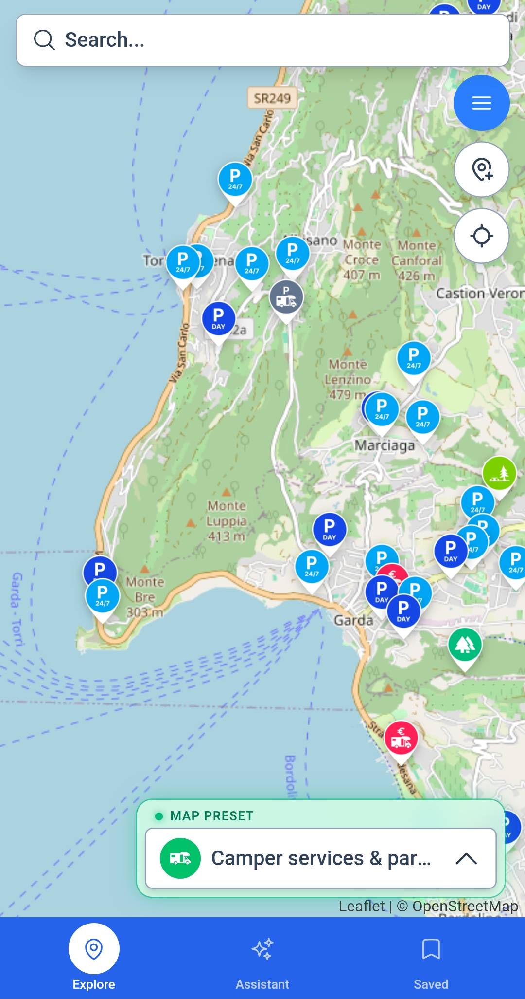
Tap your layer — XCmap shows conditions where you can actually stay, park, and pull in.
Soarable hours, cloudbase, and OD risk on every takeoff — with overnight spots near enough that your 6 AM alarm actually means something.
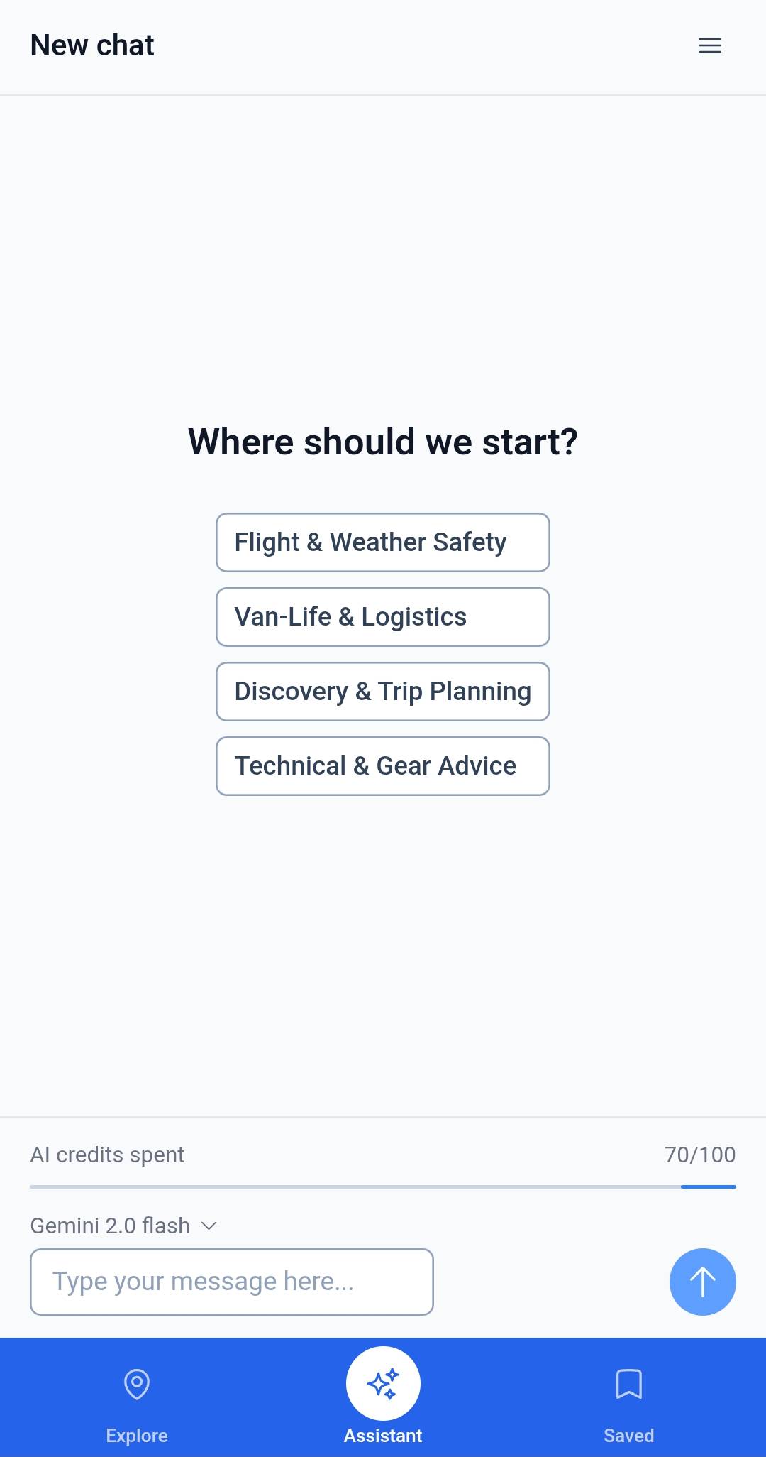
Meet your co-pilot
Not a generic chatbot — XCmap reads your layers and live conditions.
Natural-language answers that weigh your rig, your route, and the forecast — then pin the result on the map.
Try a real question
I work until 2 PM tomorrow. Quiet park-up tonight, flyable ridge after — where?
Forest Edge — quiet overnight, strong 4G for morning calls, 14 min to Ridge Launch.
Ridge Launch: soarable 2:30–6 PM, thermals building, light OD risk after 5.
Backup: paved motorhome area 8 min south if wind shifts east.
Answer pinned on your map
Benefits
Weather, stay, activities, your saved setup, and AI — without switching apps.
Forecasts and sport overlays together — thermals, swell, trail conditions, and wind on the map.
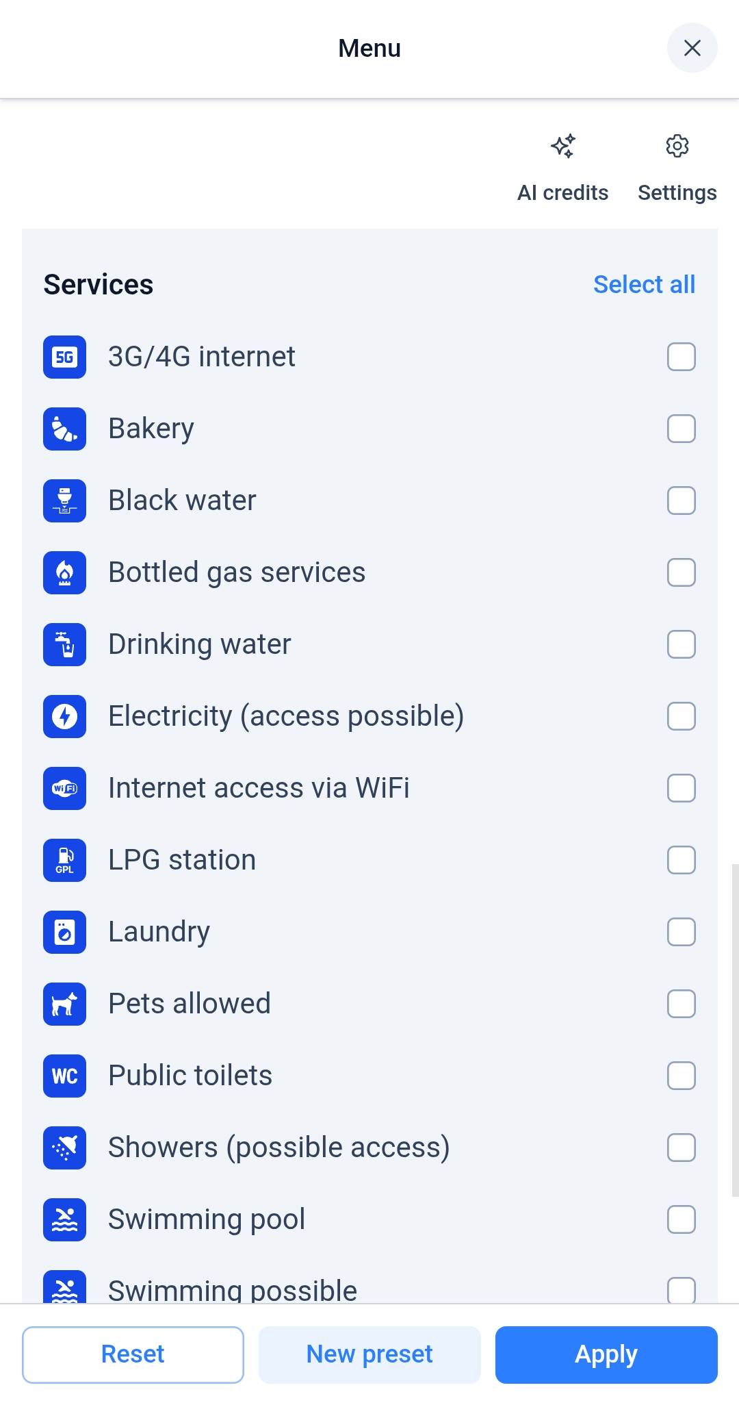
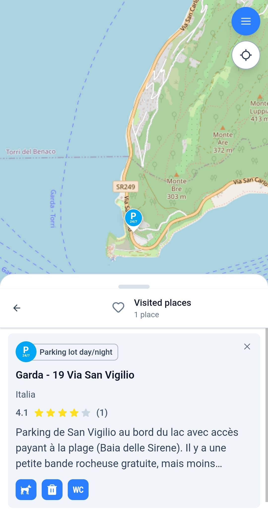
Campings, park-ups, dump stations, fresh water, and rig-length filters in one layer.
Save map presets and morning layouts. Restore filters, layers, and view with one tap.
Ask where to sleep or what's flyable. Get a clear recommendation pinned on the map.
Trusted by travelers who live from the road
average app rating
from early-access travelers
Europe-wide layers for campings, takeoffs, trailheads, breaks & services
Marco R.
Paragliding pilot · van life
Pyrenees, FR
“I used to spend an hour every evening cross-checking Windy, Park4Night, and pilot forums. Now I ask once and drive with a plan.”
Sofia K.
Kitesurfer · full-time road
Tarifa, ES
“We chase swell across Portugal. XCmap ranks breaks by forecast and filters out spots where our rig won't fit. That alone changed our weekends.”
Tom & Ana
Hikers · motorhome
Dolomites, IT
“Trail mud, parking for our motorhome, and a flyable ridge after the hike — I stopped keeping three browser tabs open on the dashboard.”
Elena V.
Motorhome · full-time road
Alps, CH
“Length limits, quiet ratings, dump stations on the route — the stay layer thinks like a motorhome driver, not a hotel app.”
Yes. The full map and every sport layer are free forever — no credit card to start. Paid tiers add more AI credits, saved layouts, and trip history when you need them.
For most daily planning — where to stay, when conditions peak, and whether a spot fits your rig — XCmap replaces the stack. You may still keep specialist tools for deep dives, but the morning shuffle is gone.
XCmap is built for European road and outdoor travel today — campings, takeoffs, trailheads, breaks, and forecasts tuned for the continent. Coverage grows with community and partners.
We combine forecast models with site-specific context — thermals, cloudbase, OD risk — and translate them into readable hints. Forecasts are probabilistic; your judgment always comes first.
That's the core use case. Stay & Services filters by vehicle length, access, overnight rules, dump and water stops, and proximity to your sport — so you stop guessing at arrival.
Community reports, partner datasets, and open sources — curated for road travelers and outdoor riders. Spots, amenities, and warnings update as users contribute on the road.
Where to stay tonight and what to chase tomorrow — on one map, start free.