Map layer · Trails
Every trail. On your map.
Switch on Hiking trails and 540,000 marked routes appear on the map, next to where you can park and what the weather is doing.
- 540,000 hiking trails
- 7.7 million km of trail
- 248 countries and regions
On the map
Hiking trails on
Monte Baldo, Lake Garda
Trails 651, 634 and E7 in view
On the trails layer
Zoom out to choose. Zoom in to walk.
The layer draws marked hiking trails straight on the map. For now it shows where the trails run; details for each trail are on the way.
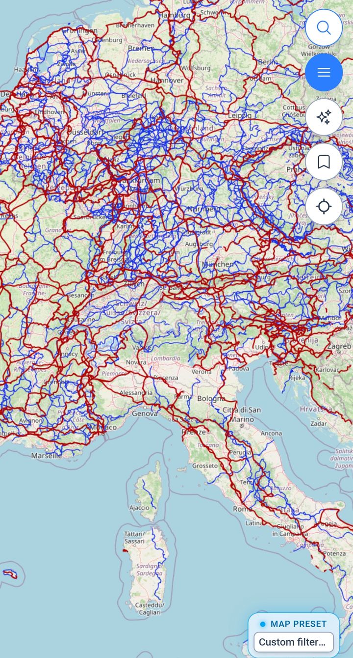
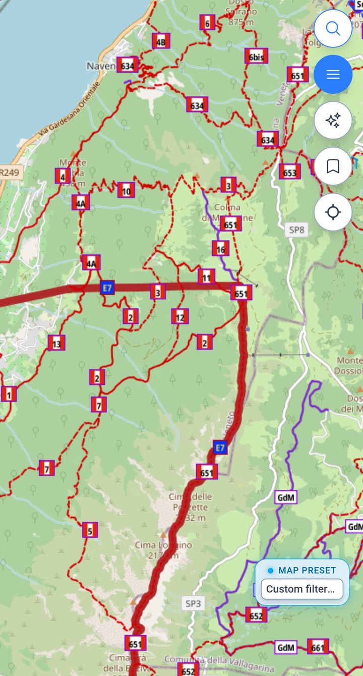
Hiking trails
Two ways to look.
Same map
Trails, plus everything around them.
- Map styles: put the trails over topography, satellite or 3D terrain
- Parking: see where a route starts and where you can leave the van
- Weather: check wind, rain and clouds over the same ground
Trail cards Coming soon
A card for every trail.
Tap a trail and read about it, the way you can with takeoffs and parking today. That part is in development.
The layer in numbers
A lot of ground to cover.
In short
540,000 marked trails, 7.7 million km in all, on the same map as your parking and the weather layers.
- 540,000 Hiking trails Marked routes on the map.
- 7.7M km Total length Around the Earth 192 times.
- 248 Countries and regions Wherever the road takes you.
- 308,000 Loops Start and finish at the van.
- 7.9 km Median trail Half are shorter, half longer.
- 8,770 m Highest trail Everest North Base Camp.
Before you lace up
Can I open a single trail and see its details?
Not yet. Today the layer shows where marked trails run and their numbers. A card for each trail is in development.
Is XCmap really free?
Yes. Right now XCmap has only a free version: the map, every sport layer and the forecasts, with no credit card and nothing to pay.
Where in the world does it work?
Anywhere you travel. The map and the weather forecasts are global. Spots such as takeoffs, campings and service points come from open data, partners and travelers, so some regions are mapped in more detail than others, and coverage grows as people contribute.
Where does the data come from?
Base maps come from OpenStreetMap. Spots, amenities and warnings come from open datasets, data partners and the travelers who use XCmap, through their reports and reviews. Weather comes from forecast models.
Your next hike starts on the map.
Open the map, switch on Hiking trails and find parking near the start. Free to start.
Try free